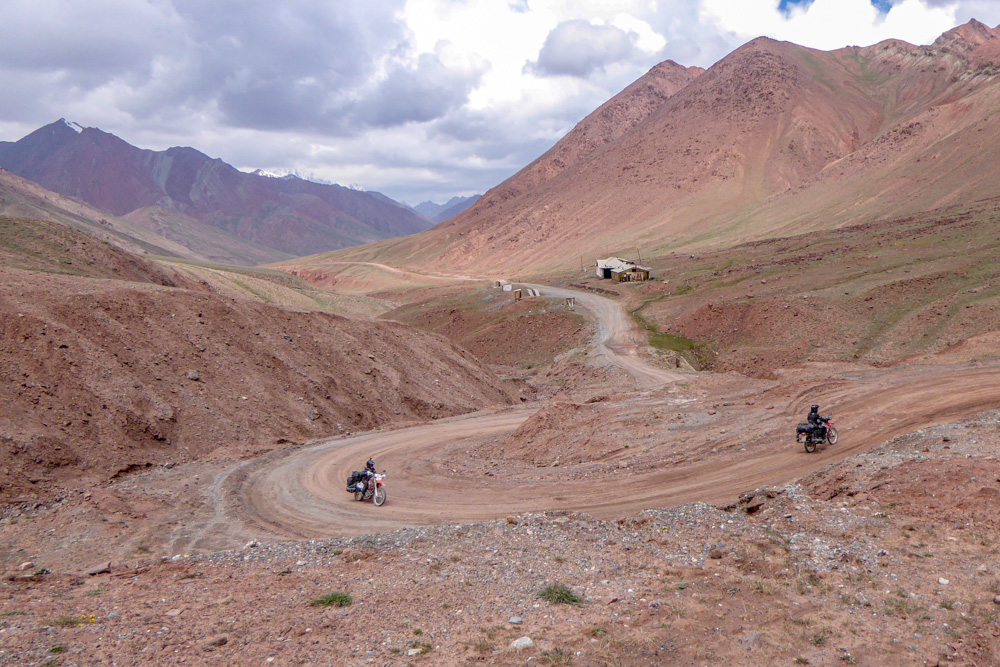
The 17-kilometers road between the borders is in a bad condition and becomes more or less impassable when it rains, because the steep pass road turns into mud. Luckily we have sunshine and a great view. Shortly before the Tajik customs you reach the top of the pass with an altitude just below 4300m. At the customs you are still at almost 4200m.
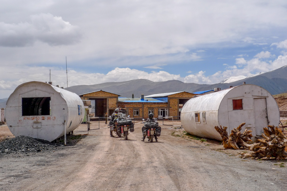
When we reach the border building, there is not much going on and we hope for a quick processing. First of all, our papers get checked and we are sent to a small, dubious hut. The man there babbles something about disinfection and we each have to pay ~5 €. Then he turns to our motorcycles with his little sprayer (probably filled with water) and starts spraying the tyres a bit. “Ok finish” he says after a few seconds. I’m having a look at our motorbikes, that are still completely covered with mud from top to bottom. Great disinfection, we certainly wouldn’t have had to pay for that, but you can’t know that beforehand.
The next building is for “Transportation” and all the papers get checked again. The entire customs here is managed without computers and everything is entered manually in books. That takes half an eternity and suddenly we’re supposed to pay around 8€ for another thing. Miriam is not doing very well due to the altitude and she is actually just hanging limp in a corner. Robin doesn’t look much better either. We are already a little pissed off, since we had to pay for something curious again. The visa itself already costs $US 70, so there is no reason for additional fees. A few minutes later they tell us to go to the next building for “Registration”. At this place it also takes forever until everything is entered manually and they finally demand for another ~10€ per person. We indicate that we are slowly getting angry, but the only answer we get is “governor, governor” (which probably should mean something like “ordered by the government “). After we have unwillingly paid these fees, they tell us at least, that we are finished and ready to go now.
A border guard opens the barrier and we jump on our motorcycles. Behind the barrier is another building on the right-hand side, where two men are already waiting for us and want us to stop again. Well – they told us we are finished, the barrier is open and we are fed up anyway – let’s see what happens, if we just ignore them! So we just shake our heads and drive on, without worrying about these two guys. Apart from yelling after us, nothing happens, nobody follows us, nobody seems to care – it was another rip-off for sure – muppets!
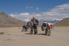
It goes downhill again and a few turns later you have a fantastic view of Lake Karakul. We decide to take a short break there and have a bite to eat. Miriam is having a nap. She is still not doing really well, since we are still at 4000m a.s.l. Afterwards we ride to the south side of the lake and try to find the entrance to the Bartang Valley. Bartang Valley is the ultimate motorcycle adventure route in Parmir. You need petrol for about 400km (~250mi) off-road. For 300km (~185mi) there is actually nothing to eat and hardly any people. The road condition changes from “not existant” to “totally okay”. There are very sandy sections, dry river beds with large pebbles and boulders, river crossings and many steep passages – without guard rails, of course. If you are interested, check out our Bartang Guide.
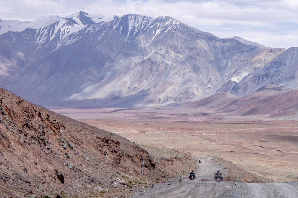
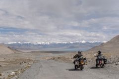
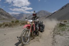
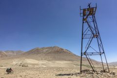
We have three different GPS devices and they all show a different, non-existent road. Therefore we simply decide to follow a few sparse tracks cross-country, before we finally reach the actual road a few kilometers later. At the north entrance the tour doesn’t start with a real valley, but rather a desert-like plateau surrounded by snow-capped mountains. A few sandy tracks go towards the horizon, that’s the way.
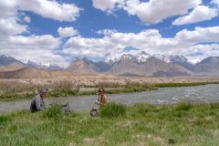
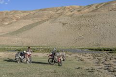
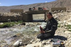
After many kilometers of sand and dust we reach a small river. Wherever a river flows in Pamir, there is green and lush vegetation. However a few meters off the river, you only find dust and rocks like on the moon. It is already late and we pitch our tent on a small green area next to the stream. A nasty wind is blowing and as soon as the the sun has disappeared, it becomes uncomfortably cool. No wonder, because our night camp is still at ~4000 m a.s.l.
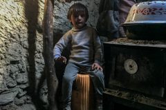
The next day we come across a yurt and a hut. The owners want to invite us for lunch and ask us into their hut. The base is made of mud and the roof consists of wood and straw. We have no idea, where they got the wood from – we haven’t seen a single tree in this country yet. A little two day old lamb is jumping around in the hut. We get fried bread, butter, cookies, kefir, plums, a huge bowl of chunks of meat and of course cay tea. The daughter is the only one, that speaks some words in English, but she is pretty shy and doesn’t talk too much. After an hour we are completely stuffed, say goodbye and continue our journey.
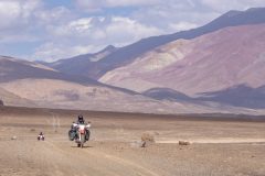
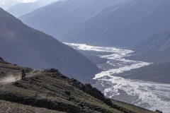
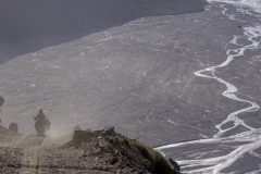
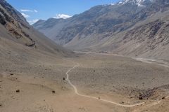
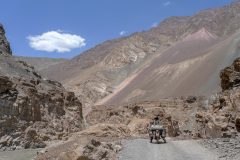
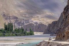
A few kilometers later we face a huge valley with a gigantic river bed – the Bartang. In the moment it doesn’t have that much water and it consists of many small streams, that meander through the valley like veins. A steep pass road leads quite adventurously downhill towards the river bed. Now we have arrived in the actual Bartang Valley. This time we set up our night camp a little more sheltered from the wind. We find a good spot between bushes, growing on the dried out part of the river bed. The Bartang carries a lot of sand and dirt that time of the year, which makes filtering quite exhausting. So we have to clean our filter very often, before we get our bottles filled. Robin has brought some vodka along and mixes a Bartang cocktail made of vitamin tablets, vitamin C powder and saccharine – sounds gruesome, but it is a real outdoor cocktail, at least. We go to bed very early again that night.
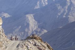
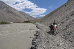
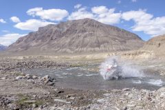
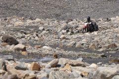
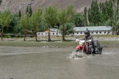
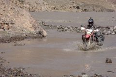
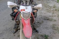
After breakfast the next morning the route follows the river. It is almost at level with the stream. We find ourselves very often between huge scree fields on one side of the road and a raging river on the other side. Depending on the water level, the road sections are partly flooded or they have been buried by landslides. This is usually not a problem with a motorcycle, but there would have been no chance for a car at that time. We have frequent river crossings now, because small streams come out of the side valleys more often. We cannot see the ground very often, so Robin initially tests the texture and depth with his high, “waterproof” motorcycle boots. Later on we have developed a feeling for it and mostly just give it a try, while hoping for good luck. The water is damn cold and my biggest fear has always been, that Robin and his big BMW would fall over at a river crossing and I would have to help to get the motorcycle upright again. Fortunately that doesn’t happen.
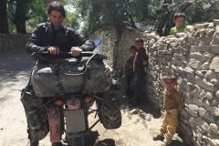
A few hours later we come to the first small village Gudara, which is situated at about the middle of the Bartang Valley. We heard, that you often get charged at this place without a cause, so we decide to continue without stopping. We pass a few men standing around, that want us to stop listlessly, but we just wave friendly and ride on. The loneliest part of the Bartang Valley is behind us and from now on there are always small groups of houses every ones in a while. Nevertheless, the landscape remains incredibly exciting and you can stop after almost every curve to take new photos.
The river cuts gradually deeper into the landscape and we drive more and more in a gorge. Every now and then you leave the river briefly and drive a small pass, just to return to the river on the other side. Guard rails don’t exist at this place. There are extremely steep slopes, the track is still bad and the Bartang has become a gigantic torrent and is not just a normal river anymore. If you get off the road here, it was most likely the last thing you did. Accordingly, we can’t go very fast either. In Shujand we take a short break and I notice that the child (Miriam) is completely covered in muck again. But after four days we have almost reached the exit of the Bartang Valley and are back to civilization.
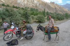
Shortly after we have left the Bartang Valley, we reach another police check post. The officer is very nice and fetches his drinking water to wash Miriam’s face. He needs about 5 minutes to be satisfied with the cleaning result, until he starts checking our documents. As a goodbye, he gives us two loaves of bread – no idea whether we had looked somehow starved? The whole route to Chorugh we only ride with one hand most of the time, as we have to wave and say hello to the locals constantly.
We stay two days in Chorugh and drive the original Pamir Highway M41 back to Murghab afterwards. Somebody recommended to make a small off-road loop towards Rankul, to the Chinese border and back to Murghab. Unfortunately the tour was nothing special, apart from the fact that we had to ride on an incredibly poor and sandy road in no man’s land between the border fences. Luckily nobody saw us, but there was no other option beside this road.
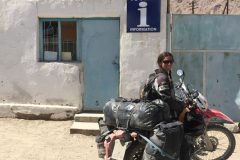
Back in Murghab we try to get a permit from the tourist information office for the road across Zorkul Lake into the Wakhan Valley. Although the tourist information office is supposed to be open, nobody is there. When the good woman arrives about two hours later, she unfortunately only speaks Pamirski. Her office looks more like a souvenir shop and when we finally found someone to translate for us, it turns out, that she has no idea about anything either – really great tourist information! We try our luck at the police station, but they can’t really help us either. Apparently you can only get the permit in Chorugh or possibly in Alichur, which unfortunately does not help us in our direction. So we decide to take the normal route into the Wakhan Valley without the detour via Zorkul Lake.
Some more kilometers after Alichur, we leave the M41 heading south. A small mountain pass leads us to the other side into the Wakhan Valley. After a short police check, we follow the remaining kilometers into the valley to the Pamir river. This river is the natural border between Tajikistan and Afghanistan and you always drive along the Afghan border back to Chorugh. At the first part the Pamir is still very small and you could easily wade through to Afghanistan without any effort. The Tajik side remains mostly unspectacular. However on the Afghan side, you have continuously large snow-covered mountains with glaciers, whose small rivers gather down in the valley and later become a massive torrent – it is, so to speak, a small “Tour de Afghanistan”. The first part of the Wakhan Valley is almost uninhabited. After a while more and more small villages pile up and the last kilometers to Chorugh are even paved again. Back in Chorugh we rest for a few days and finally follow the M41 towards Dushanbe, the capital of Tajikistan.
We have to apply for our Iran visa and unfortunately face some problems. In the end we have to stay in Dushanbe for three weeks to wait for the visas and to be able to apply for our Turkmenistan transit visas. Fortunately our hostel (Hostel Latifa) is very good and we meet many nice people who help us to shorten the waiting time. Achmed is also on vacation and is waiting for a visa. He is originally from Pakistan, has a lot of cool stories and cooks us delicious Pakistani meals every evening. The Mongolian rally is also in full swing and that’s why many rally participants come to the hostel. There is always something going on, but after three weeks we are finally happy to be on the road again.
Before we leave the country we want to drive to Alaudinkul Lake. We ride together with Pavel, a nice motorcyclist from the Czech Republic. On this route is a terrible tunnel without ventilation and light, which we decide to drive around by a small mountain pass. At the top of the pass we are invited for a tea by the owner of the local weather station. Unfortunately, he only speaks Russian and Tajik, but Pavel can talk to him in some Czech. We get so much tea and snacks offered, that we can barely walk anymore. A few kilometers further we come to a natural mineral spring with carbonated water. A couple of Tajiks are sitting there and are having a barbecue. Of course, they immediately invite us to eat again and we have to drink vodka, too.
After we have reached the main road again, we turn off after a few kilometers and take a bumpy road to a campsite in front of Alaudinkul Lake. To our surprise, the campsite is full of mountaineers. Apparently there must be some good summits to climb nearby.
The next day we hike the few kilometers to the lake. In the afternoon we make our way to the Uzbek border.


I really enjoyed your story.
Nice, that you liked it. We hope you are doing well.